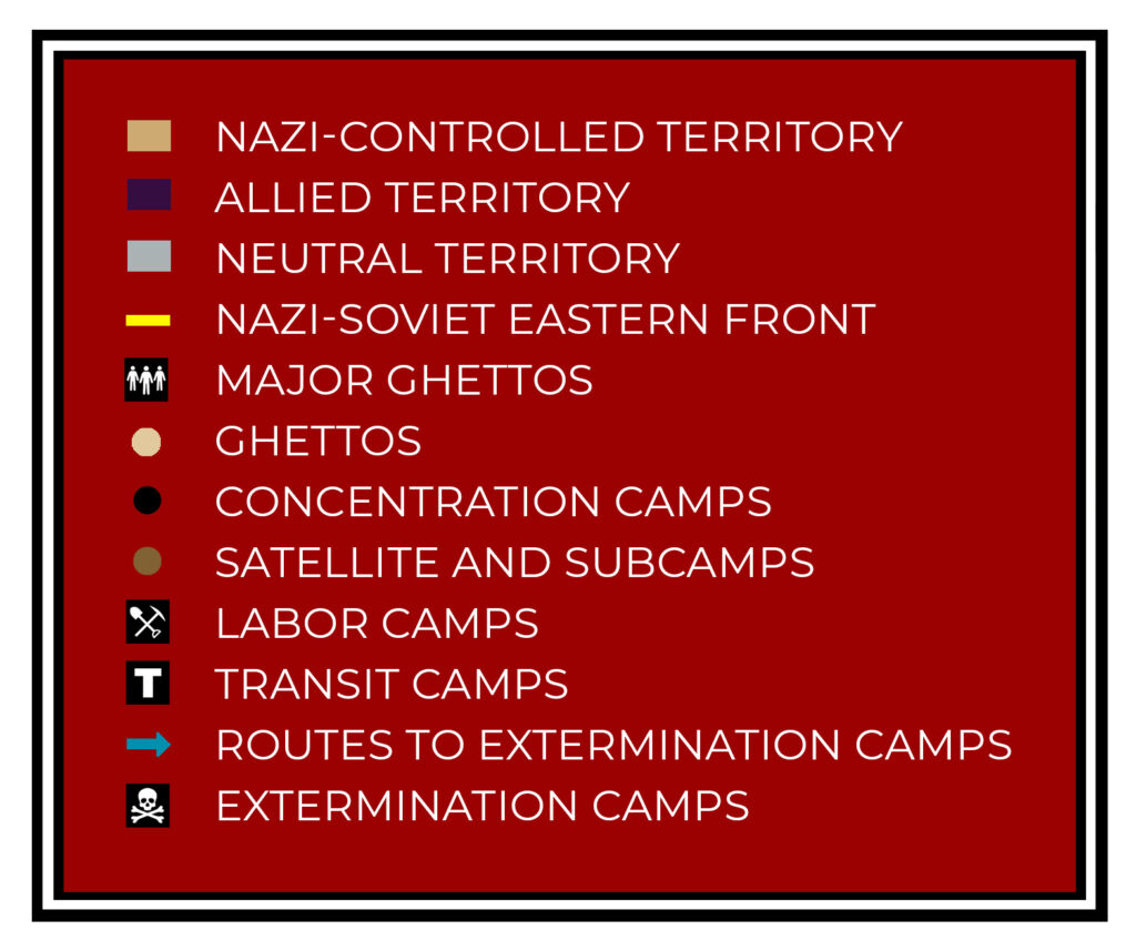
This original map surveys the extent of Nazi German control in 1942, as well as the location of approximately 2,000 select ghettos and concentration camps during World War II. The map uses contemporary borders in Europe and North Africa to better communicate the breadth of Nazi-controlled territory during the war. It also pinpoints various kinds of Nazi incarceration sites, including ghettos, concentration camps, satellite camps, subcamps, labor camps, transit camps, and extermination camps. The transit routes from locations across the continent to killing centers are also visualized. The number of incarceration sites plotted on this map accounts for less than 5% of the approximately 44,000 Nazi-controlled ghettos and camps that were known to exist during the war.
Map of Europe with Locations of Ghettos & Concentration Camps